

the WERBATA Maps
We needed to reproduce these for our 3d simulations, as they give info on the original geographical situation. Jay Haviser of then AAINA, now NAAM Museum very kindly allowed us to copy them. Production of the CD was subsidized by OKSNA. Much to our surprise, there was quite a market for the resulting CD-rom and we released it commercially.
We then went on to produce another CD-rom, also with the help of OKSNA, this one containing the other islands (except Saba) of what, then, was the Colony of Curaçao, which later became the Netherlands Antilles. These maps, courtesy Michael Newton of Monumentenfonds, were in prime condition.
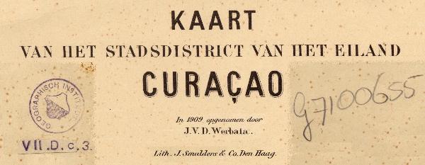
Finally, Peter van der Krogt of Utrecht University helped us out with the Willemstad maps. He even scanned them for us and did a great job.
(click to read Michael Newton article in English or Dutch)
So, all these beautiful maps are now accessible on CD.
What I like about this is that the maps are much easier to look at in detail than the originals.
There are two CDs:
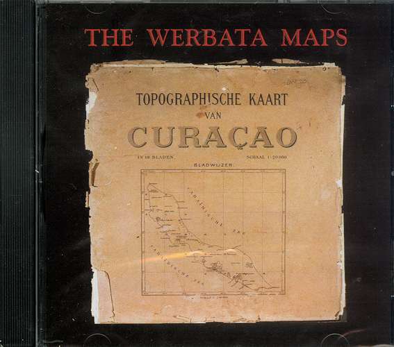
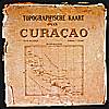
Reproductions of the 1906 first topographical maps of Curaçao island. 18 color lithos, complete and in sections for better detail, with index. Also contains a VR simulation of Curaçao island on discovery in 1499.
The VR simulation was produced as pilot for the three-dimensional VRCurassow project, Del Curazao que se fué.
The links below will give you an idea of reproduction and map quality, even if we have had to compress them a bit further here for unfortunate narrow-band users. They represent pretty small sections which, on the original maps, are much smaller than I can comfortably see without a magnifying glass. These CDs have been received very well indeed. We're rather proud of them.
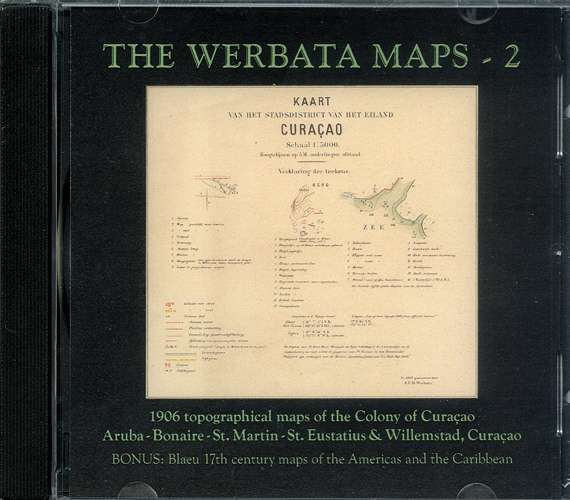
CD-ROM 2 The Werbata Maps: The Colony of Curaçao
(Now the Netherlands Antilles). Contains 8 Aruba maps, 9 Bonaire maps, 1 St. Eustatius map, 2 St. Martin (Dutch half) maps, and 2 Willemstad maps, all with index.
Like on the Curaçao CD, all maps are also presented in sections for highest detail.
be sure to give shipping address
or send me an
| Aruba | Bonaire | Curaçao | St. Eustatius | St. Maarten | Willemstad |
 |
 |
 |
 |
 |
 |
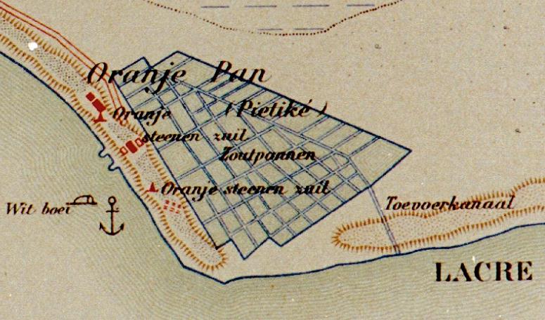
| Oranjestad | Salt ponds Pekelmeer |
Shete Seru | The Quill Buccaneer Bay |
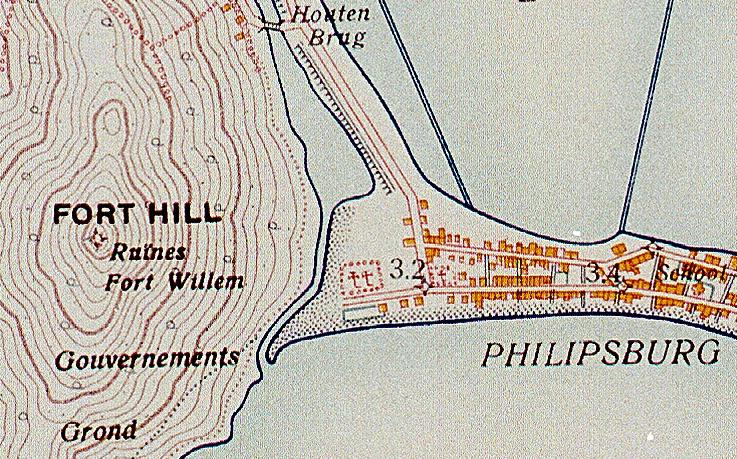
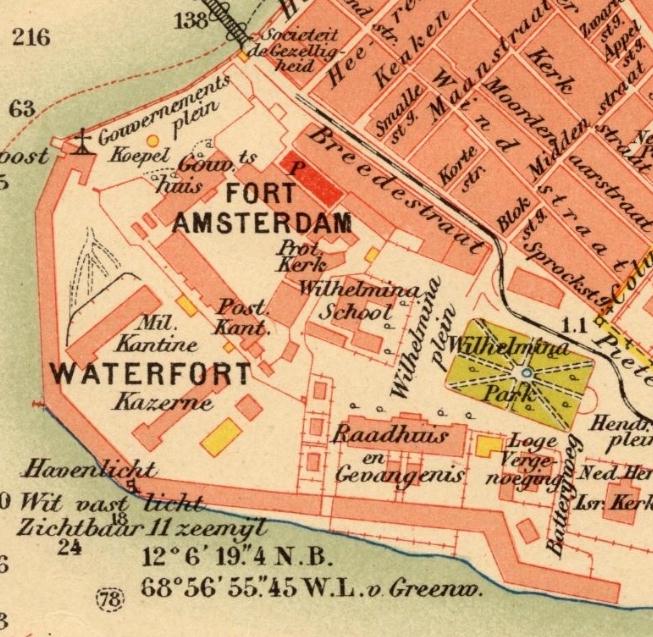
Philipsburg | Waterfort |
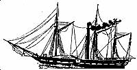
| Steamship Curaçao | More Maps | the European discovery: | KLM Fokker F-VXVIII Snip |
 |
 |
Alonso de Ojeda Amerigo Vespucci |
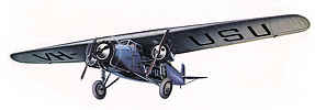 |
| record first Atlantic crossing, 1826 | visit our Map Room | comic strip heroes | first Trans-Atlantic air service, 1934 |

Caert-Thresoor
cartographic magazine
| Search this site powered by FreeFind |


Custom Search
 copyright notice
all material on this site, except where noted
copyright © by , curaçao
reproduction in any form for any purpose is prohibited
without prior consent in writing